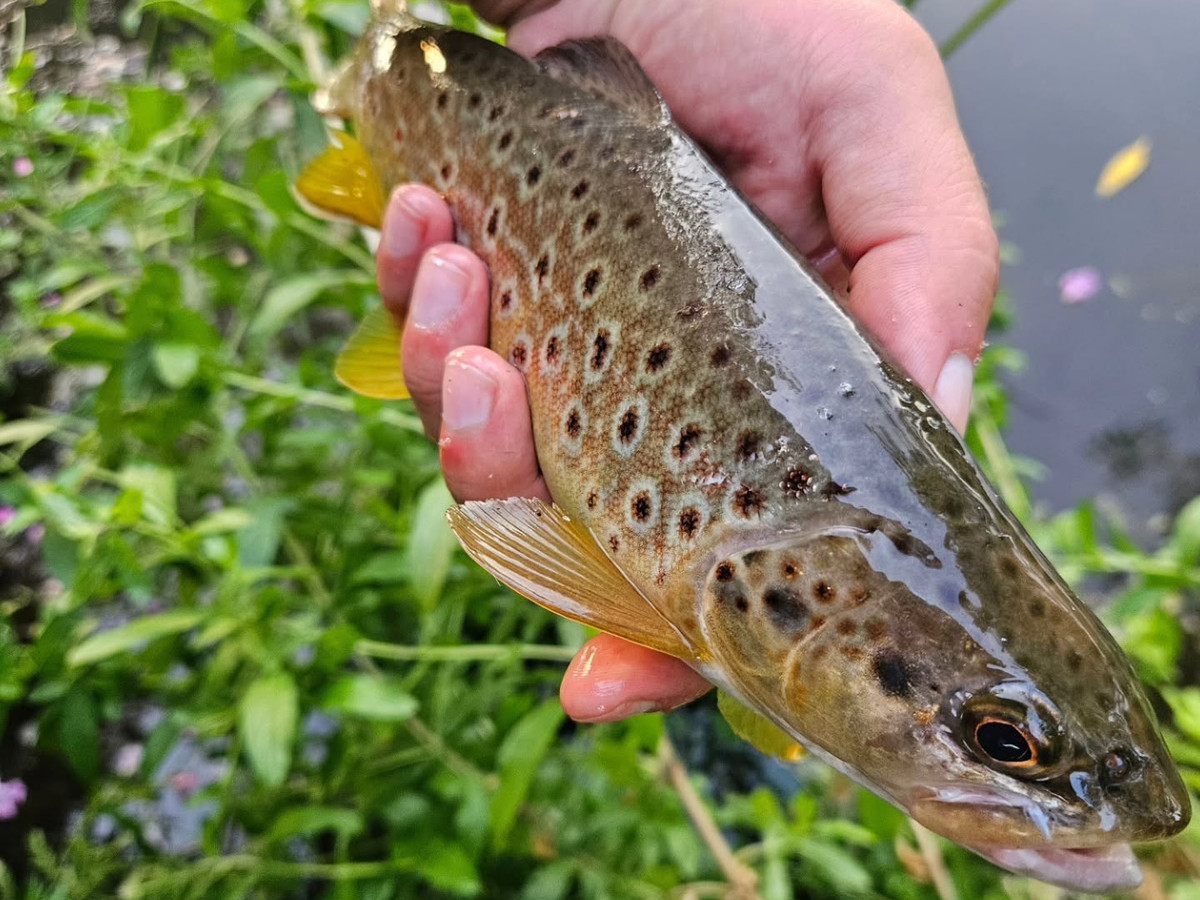
River Ure
Hawes and High Abbotside Water
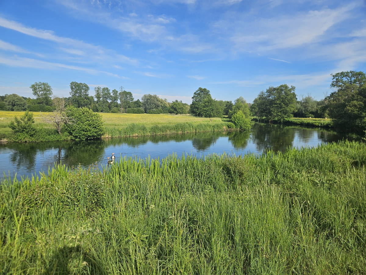
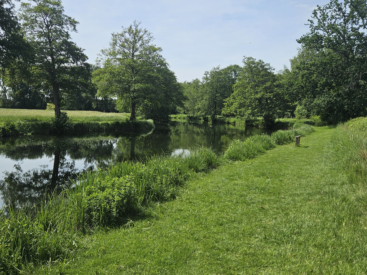
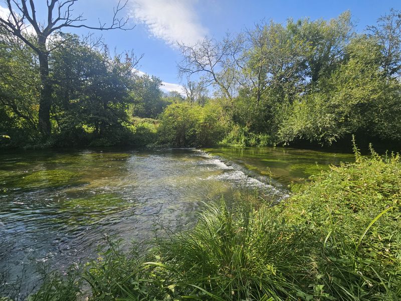
Hawes and High Abbotside Water is a fishing beat on the River Ure.
How to book
Fishing details
Hawes and High Abbotside Water at a glance
- Rods
- 1 – 1
- Difficulty
- –
- Length
- 15 miles
- Water type
- main river
Fishing methods
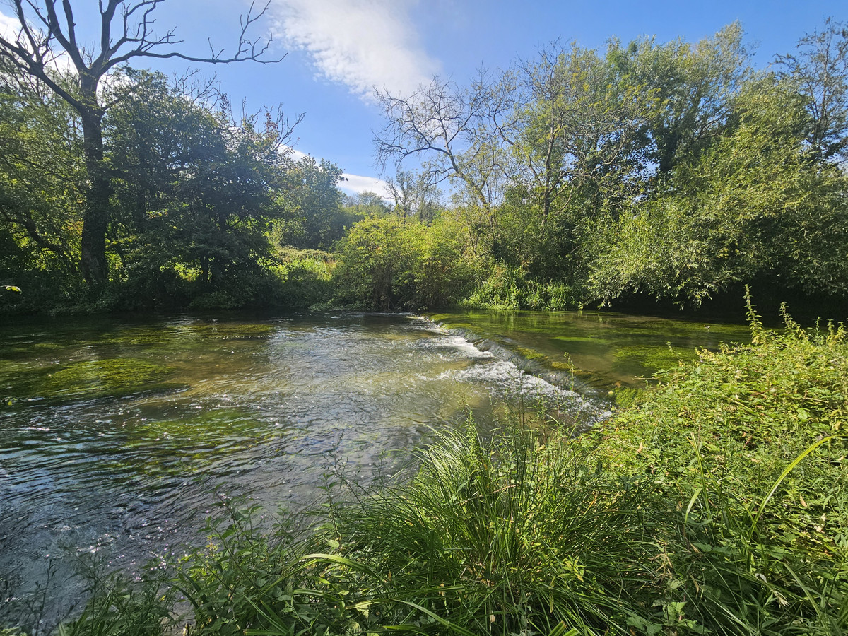
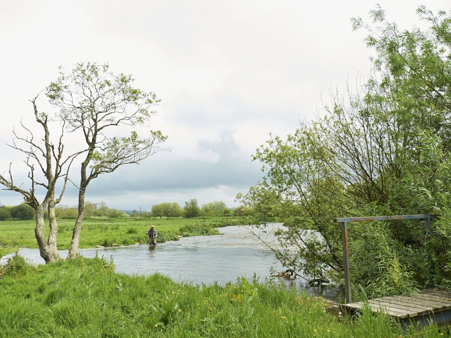
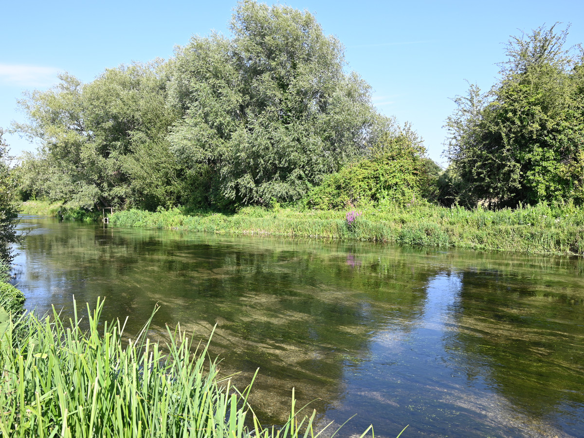
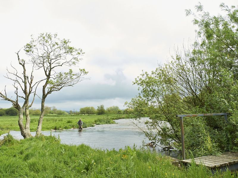
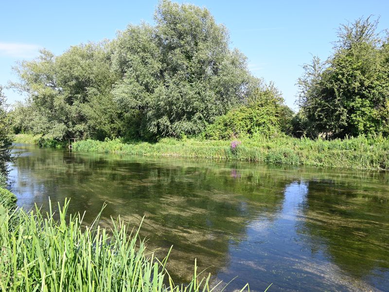
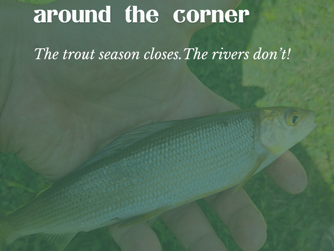
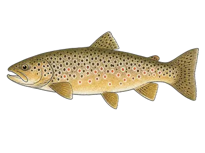
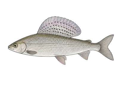
The Hawes and High Abbotside Angling Association water covers about 15 miles of the upper River Ure and its becks around Hawes, at the top of Wensleydale in the Yorkshire Dales National Park. The fishing is for wild brown trout and grayling, with fly and bait both suitable.
The trout season runs from 25 March to 30 September and the grayling season from 16 June to 14 March. The association prefers fish to be returned, but you may keep up to two trout of at least 10 inches in a day. Grayling must go back, and dogs are not allowed.
The association publishes a map of the allowed fishing area and a list of parking spots with what3words locations, at Haylands Bridge, Halfway Houses, Appersett, Kettlewell Lane at the bottom limit, and Sandy Wheel. Permits come as evening, daily, weekly or season, bought by PayPal on the association’s website, on FishPal, or from outlets in Hawes.
Stocking and fish species
Rules and policies
Fishing rules for Hawes and High Abbotside Water
Buy your permit before you start fishing and carry it. One rod only, though others may be carried part made up. The association prefers catch and release. If you do keep a fish it must be at least 10 inches long, with a maximum of two fish a day, and grayling must be returned. No dogs. All legal methods are allowed except groundbaiting of any kind and the use of fish, roe or medicated baits; maggot fishing is not allowed before 15 June. Any pike caught must be killed, as the bye laws require, but only one a day and nothing over 65cm. Close seasons: trout 1 October to 24 March, grayling 15 March to 15 June. Do not block field entrances or gates, do not litter or trample grass, and do not scare livestock. Local permits are only for people on the electoral roll for Hawes and High Abbotside; everyone else pays visitor rates. An Environment Agency rod licence is required and is not included.
Where Hawes and High Abbotside Water is
Exact location is hidden at the owner's request. This beat is on the River Ure.
Approximate locationThe river
River
The River Ure rises at Ure Head on Abbotside Common and runs about 74 miles to Cuddy Shaw Reach, near Linton-on-Ouse, where it takes in the Swale and becomes the Ouse. It is the main river of Wensleydale, the only major dale named after a village rather than its river, and it passes Hawes, Bainbridge, Masham, Ripon…
Similar beats on the River Ure
FishingBeats is an independent guide with no affiliation to the fisheries we list. Listings are editorial and unpaid, and are not supplied or approved by the fishery. See our listings policy. Listing details are compiled by FishingBeats and may change or contain mistakes. Some services, such as tuition, ghillies, or accommodation, may only apply to certain packages and not to standard day tickets. Always confirm pricing, fishing details, and what is included directly with the beat before you book. Spotted something wrong? Email hello@fishingbeats.com and we will correct it.
FAQ
Hawes and High Abbotside Water FAQs
Practical questions anglers ask before fishing Hawes and High Abbotside Water, from tickets to tactics.