North Molton Ridge, near Twitchen, Exmoor edge to River Taw at Junction Pool · 22 miles
Fly Fishing on the River Mole
1 beat on the River Mole sell access by the day.
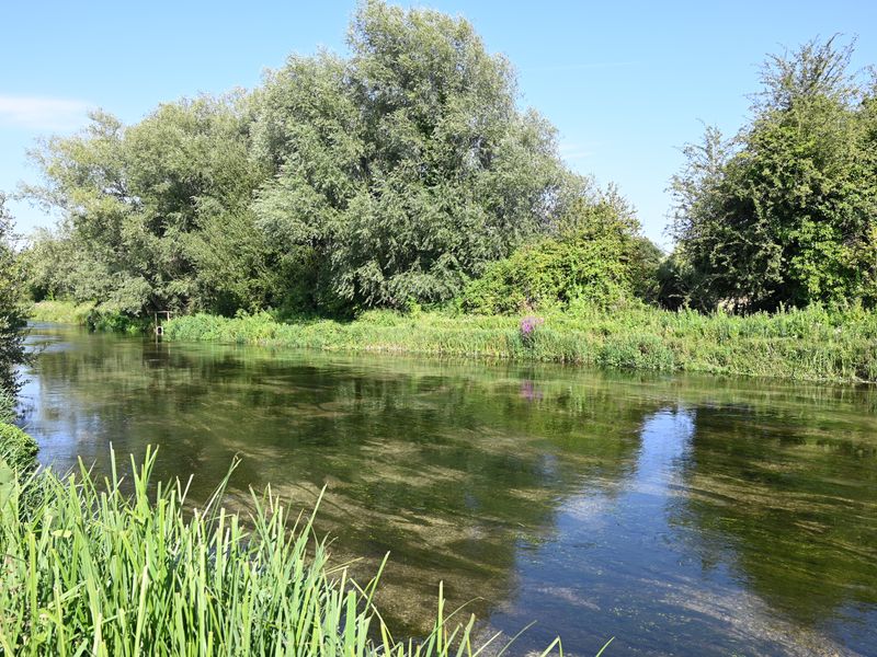
Where the River Mole runs
The river's course with every beat and fishery we list on it. Tap a marker for a quick read on price.
Fishing Beats on the River Mole
1 beat availableBrowse day tickets, syndicate rods, and permit fishing on the River Mole. Each beat listing includes pricing, species, and booking details.
About the River Mole
River Mole at a glance
- Length
- 22 miles
- Source
- North Molton Ridge, near Twitchen, Exmoor edge
- Mouth
- River Taw at Junction Pool
- Tributary of
- River Taw
- Country
- United Kingdom
- Water type
- Spate
Fish species
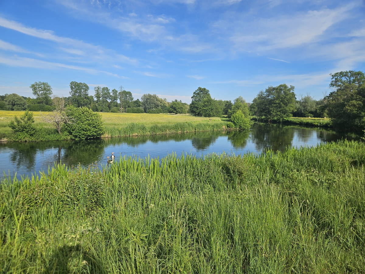
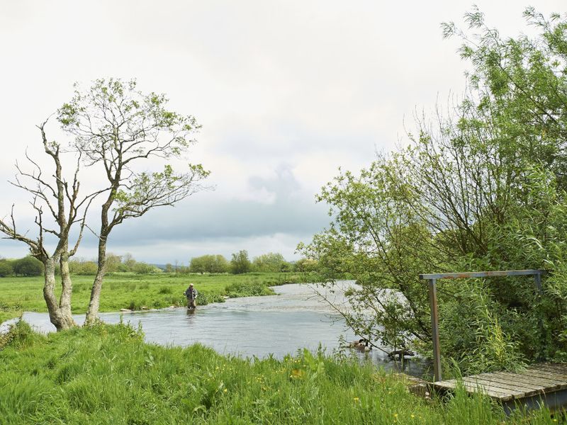
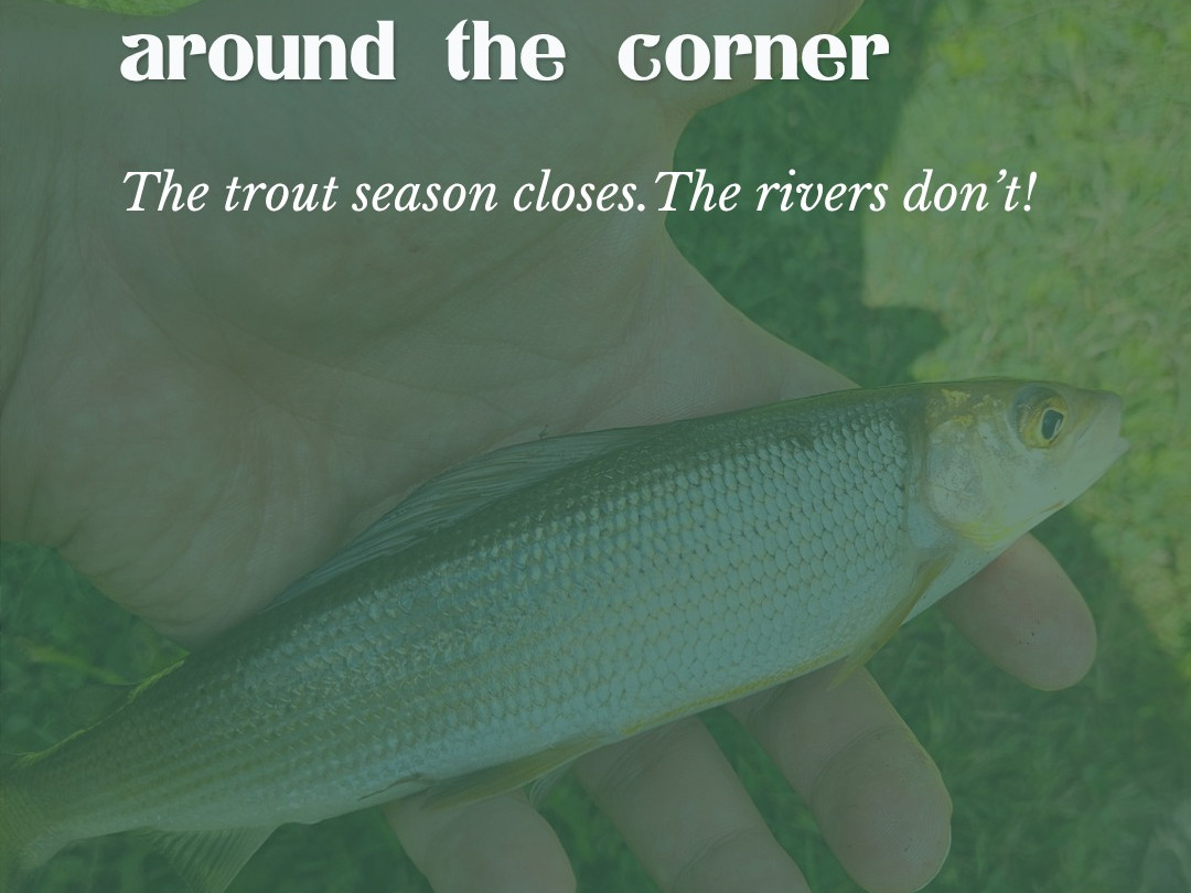
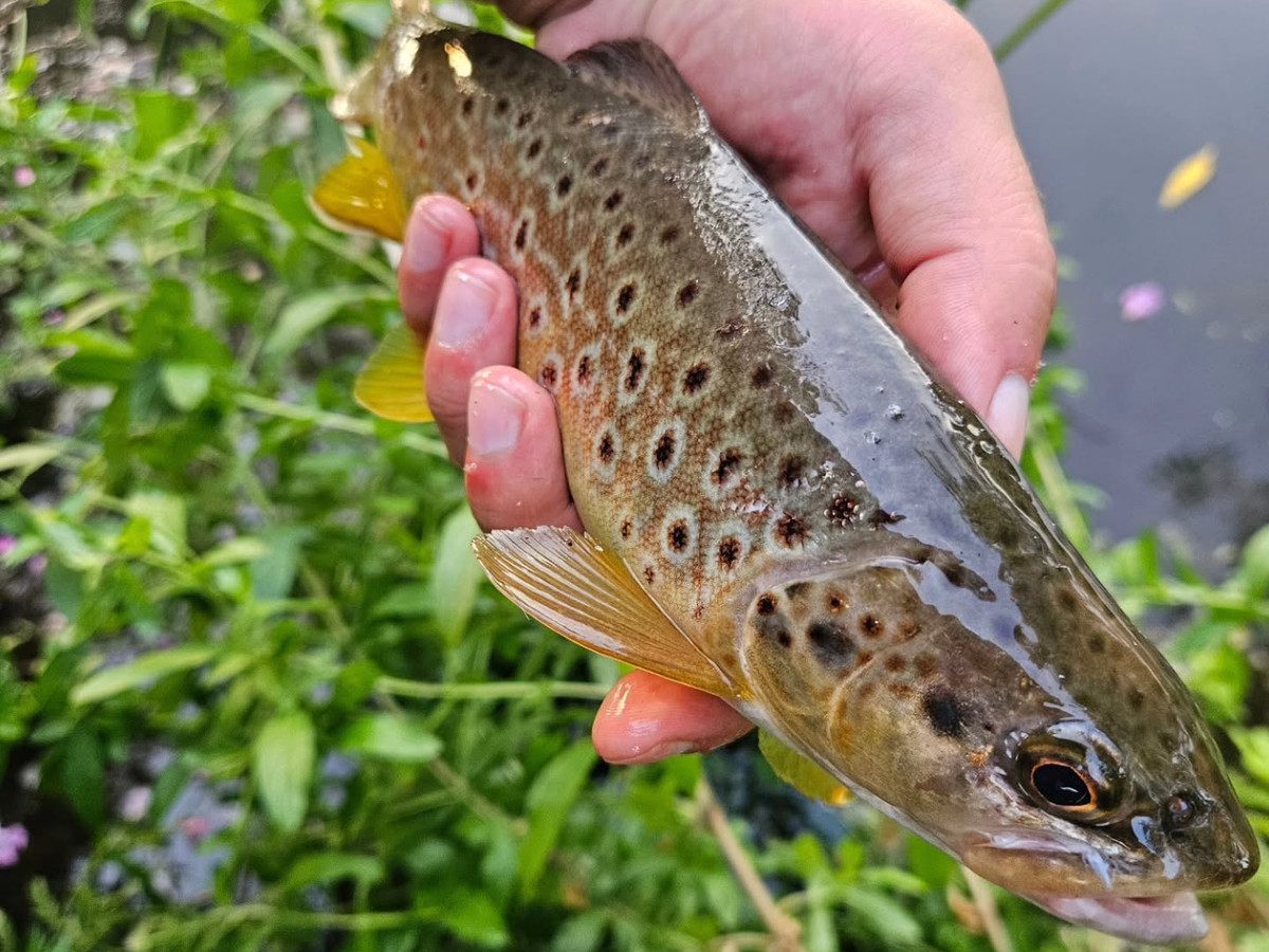
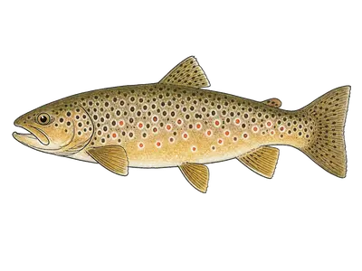
Anglers on the River Mole can target brown trout and sea trout. Brown trout dominate most beats here; grayling, sea trout, and salmon appear on certain rivers and seasons.
The River Mole is a tributary of the Taw in north Devon. It rises on the south western edge of Exmoor, on North Molton Ridge near Twitchen, and takes its name from the market towns of North and South Molton. It used to be known as the Nymet. The Mole runs south and joins the Taw at Junction Pool.
Its own tributaries include the Yeo, the Crooked Oak, the Little Silver Stream and the River Bray. The Environment Agency has level gauges on the Mole at North Molton and at South Molton, which are worth checking before a day out, since a river fed by moorland rain rises and falls with the weather.
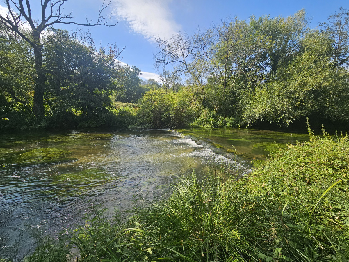
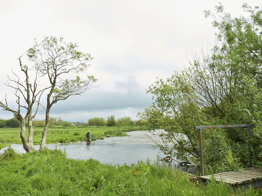
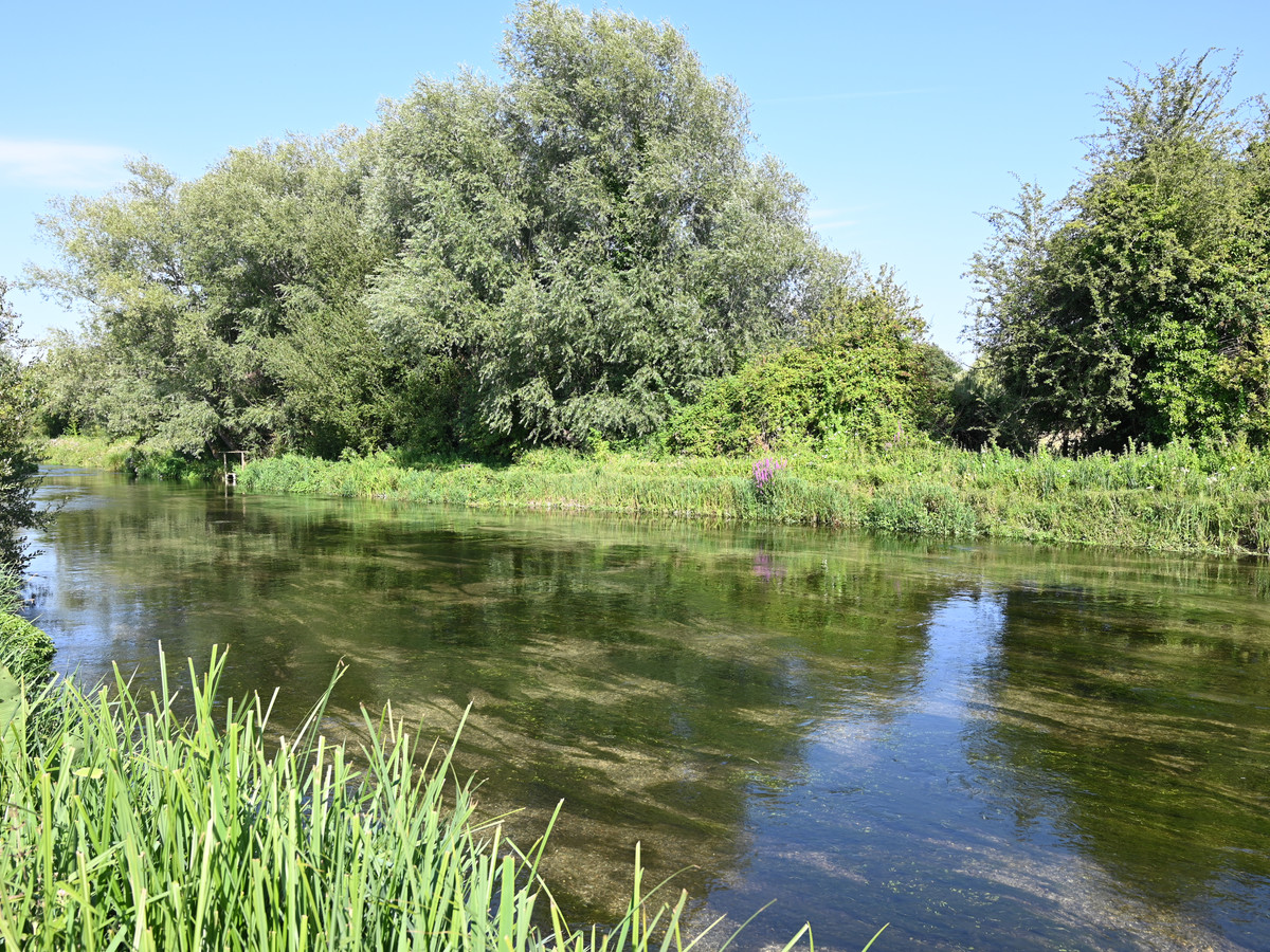
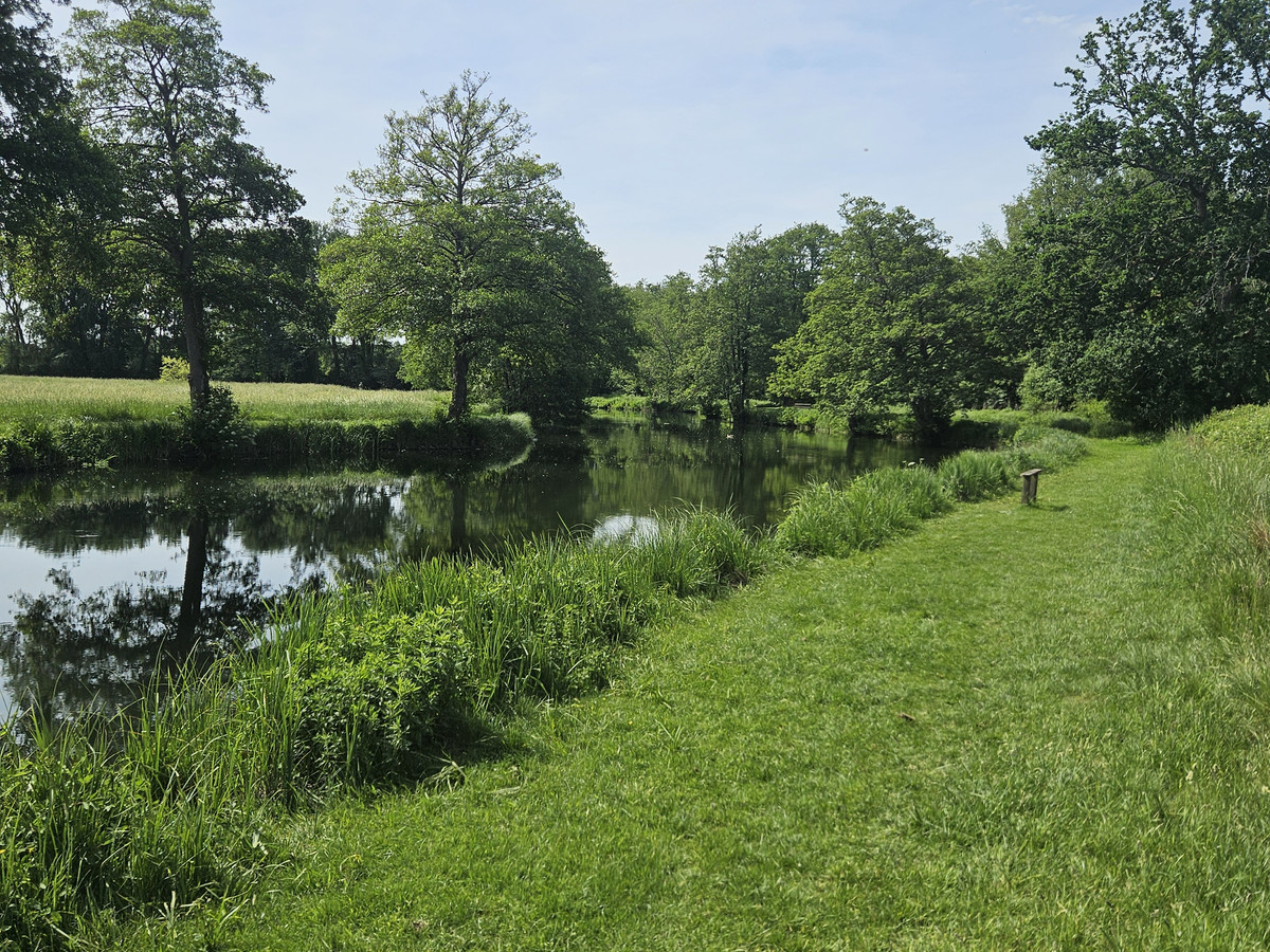
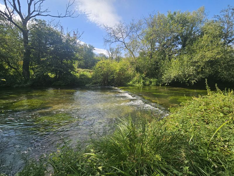
The Mole holds wild brown trout and sea trout, with riffles, runs and deeper pools. Some of it is fished on the Westcountry Angling Passport, the token scheme run by the Westcountry Rivers Trust.
FAQ
River Mole FAQs
Common questions about fishing the River Mole, from day tickets and seasons to what to expect on the bank.